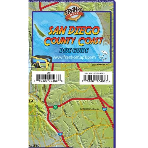


About Franko Maps San Diego Dive Guide
A recreational map for scuba divers, snorkelers, beach lovers, kayakers, boaters, and explorers. Details the dive sites and beach tourist information from Oceanside to Los Coronado's, including insets for Mission Bay, La Jolla, and Wreck Alley. San Clemente Island and Islas de los Coronado's. Beautiful, illustrations of San Diego kelp forest sea life. Includes several of the wrecks in famous Wreck Alley, such as the port-side-down Yukon, the strawberry anemone-covered Ruby E., the decaying El Rey, the toppled NOSC Tower, and the chunks of remains of the Ingraham St. Bridge. Side 2 shows the Greater San Diego Coast, which includes everything from Camp Pendleton to Coronado Islands, south of the border. The map is14" x 21" (35.6cm x 53.3cm) and folded to a handy 4" x 7" (10.2cm x 17.8cm). The map is printed on waterproof rip-resistant synthetic material. Know the lay of the land and waters around Orange County California. Map makes a great gift idea.
Franko Maps San Diego Dive Guide Features
- San Diego Dive Guide:
- Recreational Map
- Scuba Divers, Snorkelers, Beach Lovers, Kayakers, Boaters, & Explorers
- Details Dive Sites & Beach Tourist Information
- Oceanside to Los Coronado's
- Insets for Mission Bay, La Jolla, & Wreck Alley
- San Clemente Island & Islas de los Coronado's
- Beautiful, Illustrations of San Diego Kelp Forest Sea Life
- Several Wrecks In-Famous Wreck Alley:
Port-Side-Down Yukon
Strawberry Anemone-Covered Ruby E.
Decaying El Rey
Toppled NOSC Tower
Chunks of Remains of Ingraham St. Bridge - Greater San Diego Coast: Everything from Camp Pendleton to Coronado Islands, South of Border
- Dimensions:
Unfolded: 14" x 21" (35.6cm x 53.3cm)
Folded: 4" x 7" (10.2cm x 17.8cm) - Folded Handy Size Fits-In Pocket
- Printed-On Waterproof Rip-Resistant Synthetic Material
- Know Lay of Land & Waters Around Orange County California
- Great Gift Idea